In brief
New satellite images capture the aftermath of a deadly flash flood on Nepal's Trishuli River caused by a glacier collapse. They show villages, bridges and a hydroelectric power station swallowed by a torrent of water and debris. Over 550 people died and many are still missing, especially at the Nepal‑Tibet border crossing. Satellite feeds from Vantor and Planet Labs also reveal a barrier lake forming downstream, posing a secondary flood risk. These visuals aid rescue teams in locating survivors and assessing the extent of the disaster.
The latest satellite images from US intelligence firm Vantor show how a glacier collapse triggered a flash flood that swept through the Trishuli River valley in Nepal.
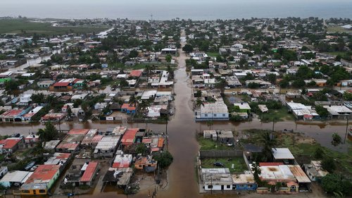
Before‑and‑after photos reveal villages, bridges and a hydroelectric station completely gone. Officials say more than 550 people have been killed, with hundreds still missing.
A key front‑line crossing on the Nepal‑Tibet border was almost entirely washed away – footage from satellite and CCTV show the deluge swallowing buildings and people scrambling to escape.
Satellite data from Planet Labs pinpoints the exact moment the glacier fell, carving a path of rocks and debris that forced water downstream and built a barrier lake. Chinese authorities warn that the lake could breach later, flooding additional areas.
Dr Argha Banerjee, a glaciologist, notes that while the lake’s surface hasn’t expanded since Wednesday, some water is already flowing out, suggesting the dam might be stable for now.
These images are part of Vantor’s Open Data Program, giving aid teams a clear map of where to focus rescue and recovery efforts.